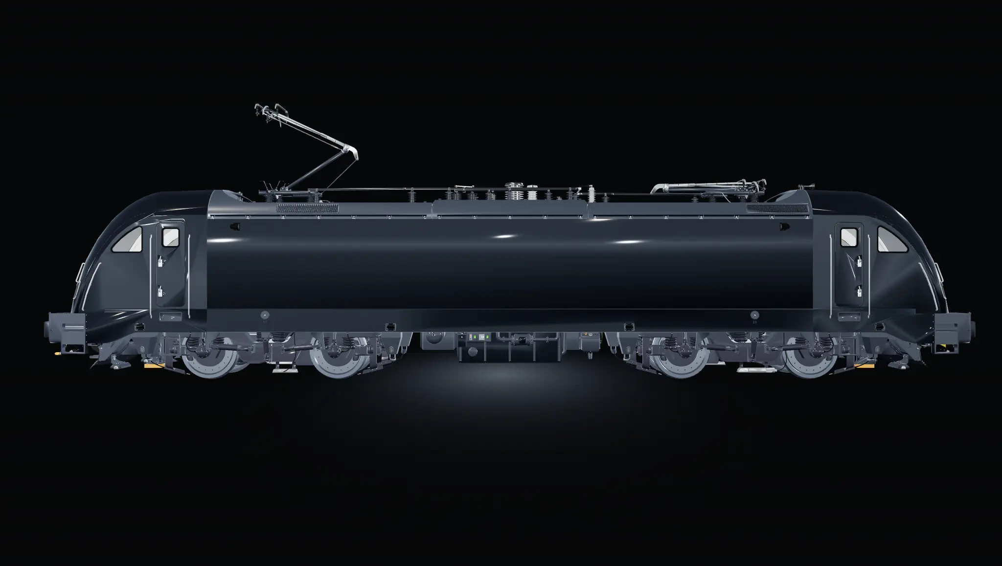
Built for the track. Proven since 2017.
Robust hardware, a resilient cloud platform, and measurement accuracy that stands up to EN 13848 — because infrastructure decisions deserve data you can trust.
Robust hardware, a resilient cloud platform, and measurement accuracy that stands up to EN 13848 — because infrastructure decisions deserve data you can trust.
Mounting
Five permitted positions, and the protection class is what proves each one. Turn the locomotive, pick a point — the device stands there at its real size.
Track geometry
Cross level over thirty metres of track, centred on an alarm — one curve for each passage of the same spot. Where the curves pass a limit, the alarm is raised, with its position on the line.
Hardware
Installed on the vehicle in under a working day, with no significant change under Common Safety Method (CSM) risk analysis.
| Component | Function |
|---|---|
| MPU | Main Processing Unit — installed in the vehicle (24V DC / 110V DC / 230V AC) |
| PWMD | Peripheral Wireless Measurement Device — sensor processing, 5/24/110 V DC or battery powered |
| 2× Sensor Units | Mounted at the wheel axle box or on the pantograph |
| External antenna | Multiband — LTE, WiFi, GNSS |
All components — including sensor and power cables — are tested and/or certified to railway standards EN 50121, EN 50155, and EN 45545.
Hardware at a glance
Drag to turn a device. The dimensions are the ones on the drawing, the ratings the ones on the datasheet.
Drag to turn
Main Processing Unit
The brain of every D-RAIL installation.
A vehicle-mounted edge computer. It fuses sensor, GNSS and speed data, runs the onboard measurement pipeline and pushes the results to the cloud over 4G — with a built-in UPS, so no run is lost to a power blip.
PWMD & DC Module · internal name MIv2
Sensor fusion at the bogie, wireless to the vehicle.
A hub mounted at the bogie or the pantograph. It powers up to three sensor units, timestamps and fuses their output and relays it over Bluetooth LE — no cable run back to the MPU.
Multi-axis inertial sensor
Multi-axis sensing, non-invasively mounted at the axle box.
A sealed, ultra-low-power inertial sensor that mounts straight onto the axle box or the pantograph — no drilling, no modification. Six degrees of freedom, fused on board at 16-bit resolution and streamed out over SPI.
Cloud platform
The vehicle uploads roughly every five minutes. Everything after that runs in the cloud, on Microsoft Azure, in six stages and without a manual step.
Resolve location by fusing GNSS with sensor data and match to track model.
Validate, filter and prepare high-quality data.
Advanced algorithms compute indicators and detect patterns.
Create and classify alarms by severity (A–C) and type.
SEVERITY A B C
Visualize on map, track evolution and trends over time.
Export data or connect via API to your systems.
Dead reckoning
D-RAIL uses dead reckoning to maintain precise positioning when satellite signals are unavailable, such as in tunnels or underground sections. Sensor data tracks the vehicle's movement until GNSS becomes available again, ensuring continuous and reliable track positioning.
Standards and validation
Measurement uncertainty has been independently evaluated and cross-validated against a customer's reference measurement train, reported per the statistical method of EN 13848-2.
Documentation
An engineer reviews each request and sends the documents within 24 working hours. We use your details for that and to follow up about D-RAIL, nothing else.
Request documents
Tick the documents you need, and an engineer sends them to you within 24 working hours.
Next
A proof of concept runs on one vehicle and one line, and four to six weeks later the figures on this page have your track behind them.
Tell us about your network. We come back with a focused proposal —
your network, your priorities, the next practical step.